Saturday, October 7, 2017

2017 AT hike is finished

Another successful AT hike is in the books! I want to thank Curtis, Cori, Sanford, Travis, and Michael for being the 2017 Hiking Team and being such great hiking partners. We all got along, worked as a team, had a ton of laughs and stories, and generally had a good time and a break from reality as we know it. We were infused with plenty of Sanfucius sayings along the way. 

Hurricane Irma forced us to push out a few weeks from the original plan, which cost us another hiker, Guy Nickerson, from coming along. So, we missed having a rookie with us this year! Hurricane Irma also had another strange impact, and that was that Virginia ended up being bone-dry, as there had been no rain since the Hurricane. Every stream was dry. This was the biggest storyline for us on this hike. The secondary one may have been how cold it got at night - down to around 40 degrees - maybe colder. This is WAY colder than I like it! Sleeping in everything I had was necessary. And then there was Sanford. He brought a summer sleeping bag and few clothes. He managed to survive anyway! The cold weather did produce fantastic fires every night and morning. It also helped during the day, as it was not as hot as Spring hiking so we were not constantly soaked in sweat. This helps the feet for sure, due to less sweat, swelling. The change of colors that were evident in the mountains was beautiful. 

We did cross some AT milestones.  Michael went over 100 miles, Cori and Travis are over 200 miles, Curtis is over 300 miles, and I am now up to 600, right on the button! This includes the 8 mile approach trail to Springer Mountain, the official start to the AT on the Southern End.

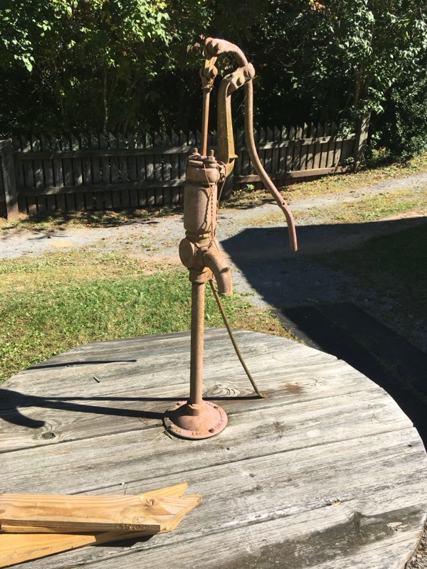
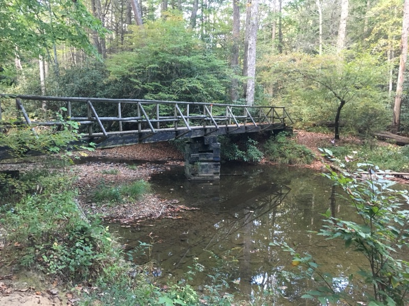
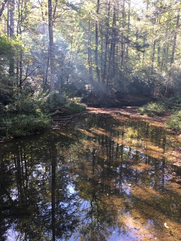
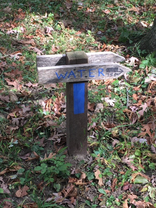
I capture this year's hike with a picture that...well, does NOT say it all. I found it ironic. Plenty of water 'signs', but no sign of water!

wednesday night/Thursday - last day!

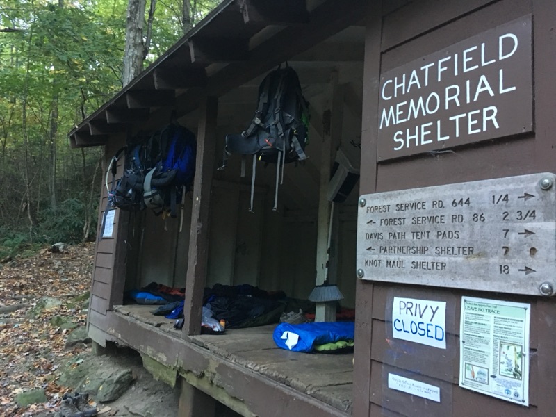
Wednesday night we were mostly tired of setting up camp and plus, we really had to stop at the Chatfield Shelter as we were on the side of Glade Mountain and there really had been no other camping location. So, 4 of us decided to sleep in the shelter, and Michael and Cori set up their tent and hammock, respectively. The pictures show Curtis and Sandford doing inventory of their packs. Its not all their stuff on the table. We were happy to have a picnic table to use at this location. We were also joined by a hiker name Barry. Interesting guy who by his own admission, was mostly just carrying Ramen noodle packs. Cori was jealous. 

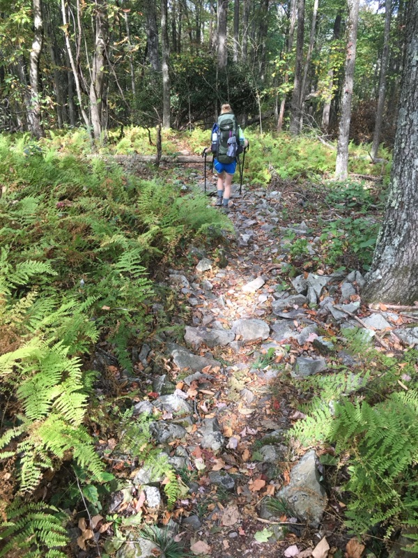
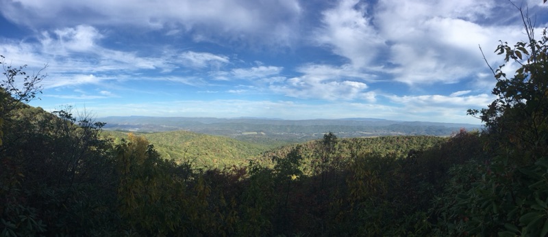
As you can see on the shelter sign, the Partnership shelter was our final destination, located at Mt Rogers HQ, where our cars were parked. We were anticipating a light (no food left, little water) hike up Glade Mountain, and then stroll to the finish line. But NO, it was not meant to be. Arguably the worst hiking of the trip was experienced as a vast majority of the last 7 miles were over rocks. Small, ankle-cracking rocks. I didnt see much of anything besides 18" in front of my boots, to make sure I didnt bust it on the last day. We did have a scenic overlook, so the panoramic picture is from there.

We rolled off the trail on thursday around 12:30 pm, having completed roughly 65 miles in 5 days - 4 full days and 2 half days.


Virginia Settlers Museum

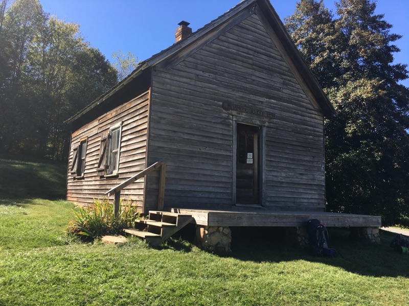
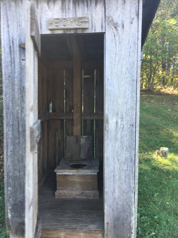
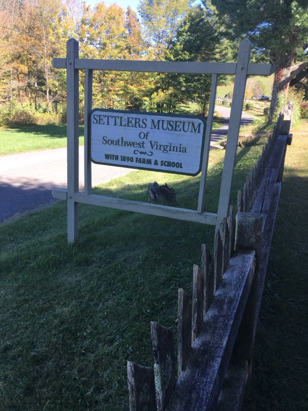
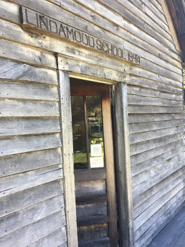
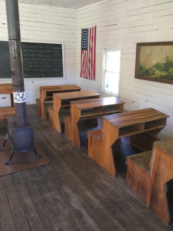
We came across the Virginia Settlers Museum from 1894, located right along our Trail. It was a nice place to stop and rest. Some interesting sites from a different time. Cori and I took the Museum tour - free to hikers! Also a clean bathroom with running water was a nice treat - it's the simple things in life! This was two miles from where we would stop for the night - a decent 11 mile day.


Wednesday's hike

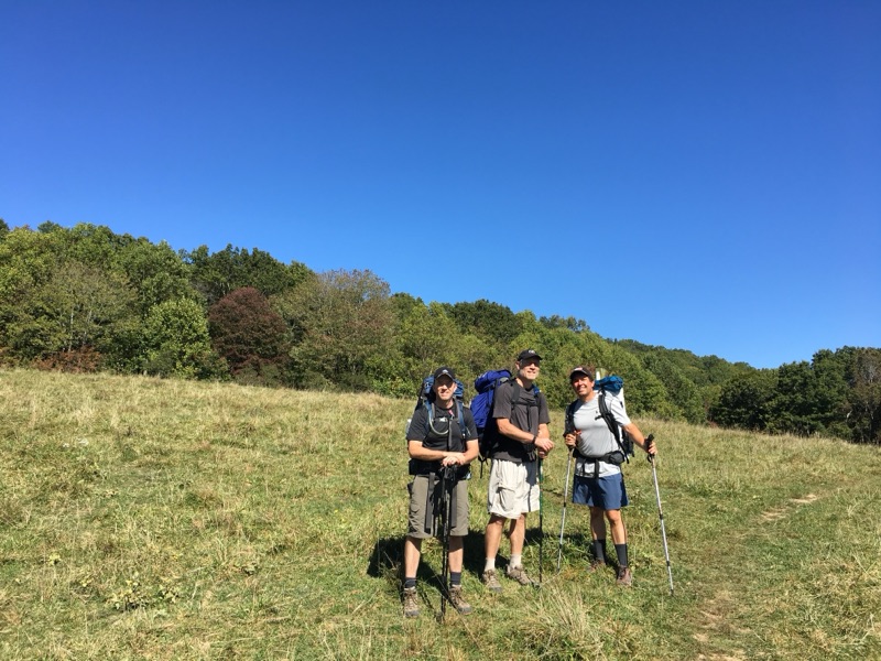
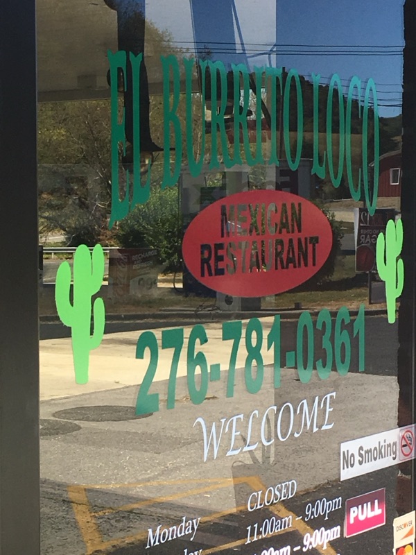
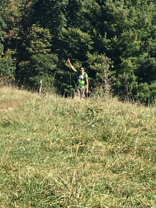
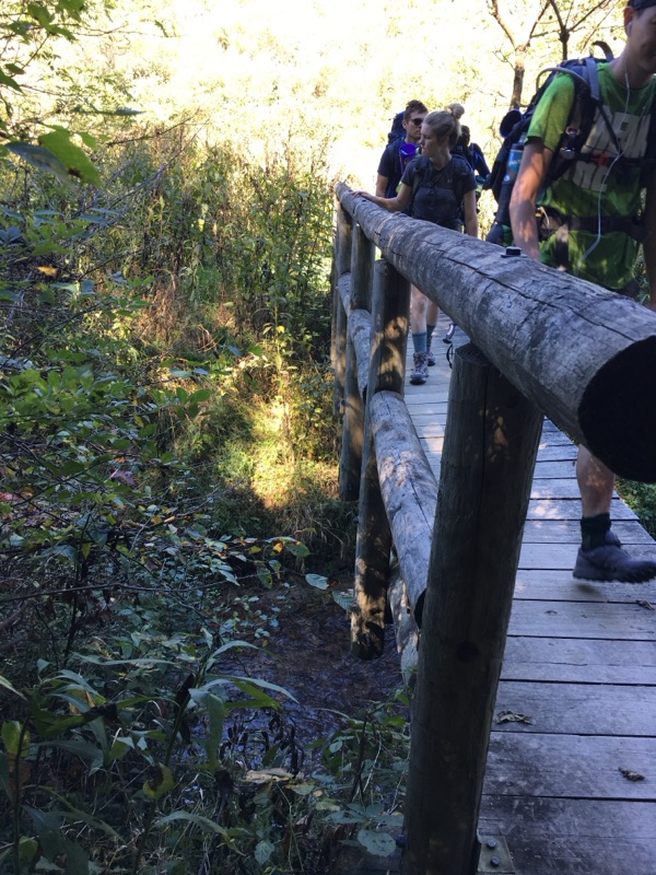
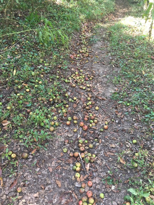
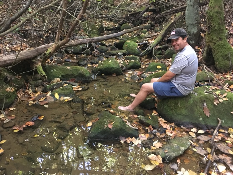
Wednesday was a gentle day - Brushy Mountain (again!) in the morning followed by more pastures. We did have a target - at I-81 there was a Mexican restaurant in the Exxon - Burrito Loco! It was about 6 miles in. We ate a big lunch, and the nice owner let us fill up on water. I have to say, most of us probably have a stigma associated with gas station Mexican restaurants but this place was the bomb! Great owner, great food, cheap prices. Loved it. AND...I am not just saying this because I/we were sick of eating protein bars and granola! So..We headed out though apple orchards and more pastures. Besides the Mexican food, we also enjoyed the Settlers Museum - free to Hikers! Cool place based on how it used to be many years ago. Bathrooms too! 2 miles further to the Shelter, leaving us 7 miles to go. Michael stopped for a spring spa treatment. This was a comparatively easy day, plus we were getting our trail legs under us.  Feet hurt but after the first 50 paces, you just dont feel it anymore. Plus Advil helps. I will post separate pics of the Settlers Museum. We ended the day with a rocky climb up to the Chatfield Shelter on the side of Glade mountain. Pictures of various scenes from the day.


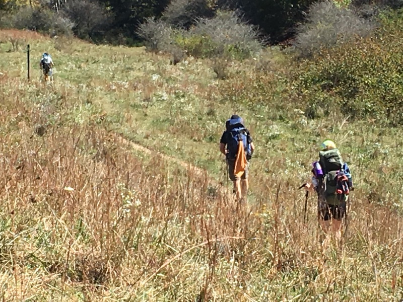
Sanford victoriously taking the pasture!


Curtis, Cori, and Sanford crossing the bridge over troubled (non-existent) water!


The Apple walk...


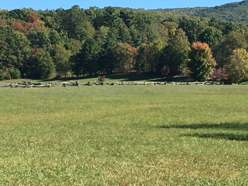
One of the fields we crossed, near the Settlers Museum. Colors beginning to change was beautiful!


Michael enjoying his spa treatment just before we started to climb Glade Mountain


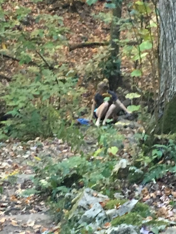
Cori going for the spa treatment at the water source at our camp site near the Chatfield Shelter


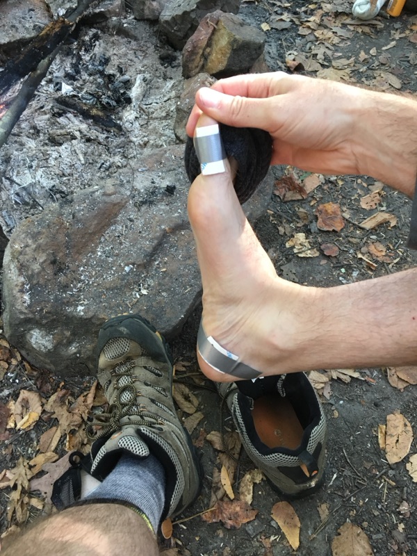
Obligatory Travis Bell blister picture!

Sorry Travis but...your feet do a nice job of 'demonstrating' the challenges of this activity! Plus, he does such a nice patch job in the field! Truth be told, although he is our 'foot model', we all have varying degrees of blisters. It's just what happens when you carry 35 lbs up and down mountains for 60+ miles, walking through rock gardens, slanted paths, etc. When I say 'all', I am not including Sanford/Chuckles. The Taiwanese hiking master had feet that looked like baby skin - and that was at the end of the hike! Sanfucius say "hike around trouble, not through it". Or something like that.
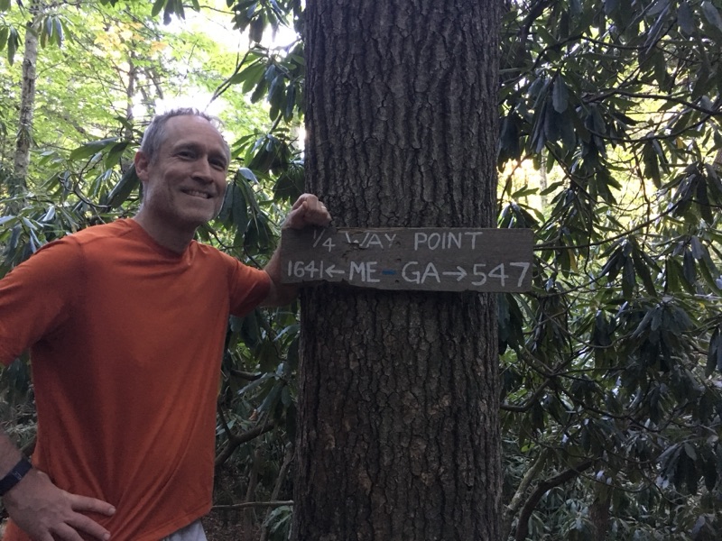
25% Complete!

Woo hoo...25% of AT completed! I doubt my Dad would believe that I stuck it out to get this far! It wouldn't have happened without my nephew Curtis getting me back out here after my Dad passed in 2011. The hiking team has continued to grow since then! Although hard, it is such a great way to get re-centered, enjoy nature, and have personal experiences that are unlike what you get the rest of the year. My appreciation for this activity has grown over the years, for sure! Great to have picked up new friends along the way, create family bonding opportunities that may otherwise not exist, and see friends who now are backpacking with their kids. It's fantastic! Maybe mine will come along one day, as well... :)
Tuesday hike -still no water;Big Walker Mountain!


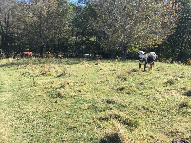
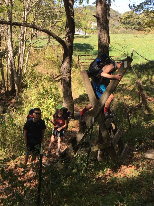
Tuesday Morning we set out from Lick Creek, having slept in to recover from Monday's grueling, long, waterless hike. We loaded up on water and around 10:30 am, we finally headed up Lynn Camp Mountain. Our friend 'Rosco' heard his buddies in the morning and he left to be with 'his people'. The first climb was hard but not bad since it was the start of the day.  We had to drop down and then climb Brushy Mountain again, which was a harder climb. We passed two dry water spots but we were traversing private property - a farm for a good part of the day. The farm had a very nice stream running through it. It seemed like we shouldnt use it so we didn't but...we should have! It was the only water of the day. As the pictures show we walked across big fields, saw some cows who were standing right in the path, and had to climb over some fences to get in and out of the pastures. Along the way, Curtis and I both got stung by hornets on our left calves. We had a shorter day planned of 11 miles and as we hit about mile 9, we started to climb. Turns out it was an epic, brutal march up big Walker Mountain that just kept going and going...straight up, few switchbacks. We were only around 3500 feet but the trajectory as tough. And...limited water left. We then had to roll back down hill to our planned campsite at Reed Creek in Crawfish Valley. We found a little water there - enough to get us through the night. Needed some purification for sure, but drinkable! Travis wandered up the path a little farther and found a fantastic camp site, which is pictured. As you see - still cold at night, as we are with fire and bundled up. Pretty good sleeping night though after that climb earlier in the day. 

Friday, October 6, 2017

Monday Night


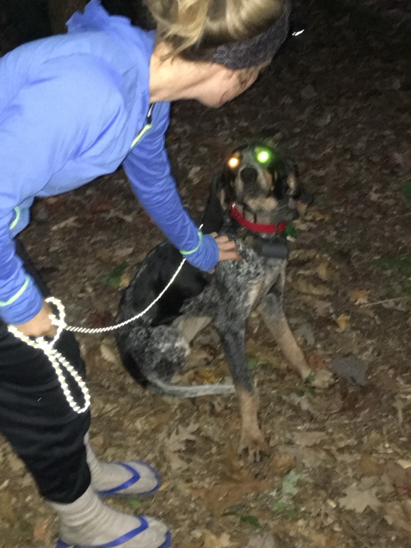
Monday night - not quite as cold but maybe 45 degrees. As the pictures show, we finally found water, so we camped by it. Overnight, we had a nice scare as a hunting dog paid us a visit..at 1:40 am. Sniffed my tent. Probably should have named the dog 'Bear' but we named him Rosco. He stuck around until morning before hearing his buddies barking and off he went and off we went. After the 17 miler we were slow out of camp, not leaving until 10:30. We didn't know it but a long day of no water was in front of us!

Tuesday, October 3, 2017

Mondayhike

Here's the thing. We planned for and knew we had a 3 mile hike straight up to the top of the Garden Mountain range. We went with limited water so we don't have to carry the weight. Really tough climb. A local church seemed to be leaving water jugs so we did a partial refill. What we didn't know was that Virginia is a 'dry state'. At least this year!  4 straight water stops were dry as dust. Well, one had a drip. Meanwhile, turns out The 6 mile 'ridge run' on top of Garden Mountain was all rocks and up and down. We mashed some toes on rocks and routes and a few blisters for sure. Walker Gap was the place for water before the 800 foot hike to about 4400' ( highest elev on this section). We were mostly zero'd out with water. Up we went to a beautiful overlook leading to a long hike across or out though an open field. All part of the Beartown Wilderness. We hiked 1.8 to water - a drip. No choice now but to slide 2000' down to Lick Creek.  This was about 4 miles and around 2 hours or so. Much more than intended for today! Est about 17 miles.  Fitbit says 47,000 steps and almost 400 flights of stairs!!  We were never so happy as to limp into Lick Creek and see running water! We loaded up. Great campsite, good firewood. We will sleep well!

Monday morning


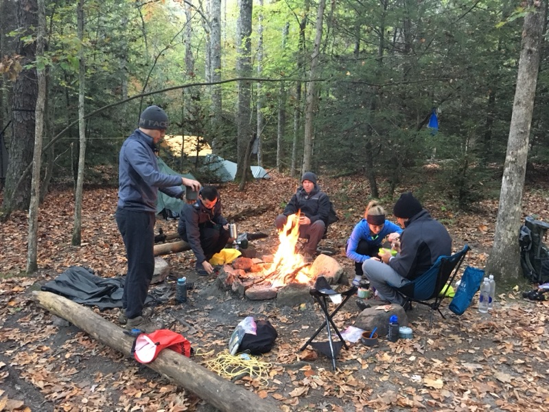
Why a blog entry for Monday morning with a picture of just a campfire? Because it was 6 am, we were all awake, and we were freezing! Estimated sub 40 degrees last night and it was really hard to sleep. No one was warm. So we got up in the dark and scrambled together a fire and stood very close in to warm up. This was not the he worst part of the day, however!

Monday, October 2, 2017

Day1toJenkinsShelter


First full day! 13.5 miles through the George Washington - Jefferson National Forest. We ended at Jenkins Shelter, although we are all camping.  Pictures along the he way include a beautiful water stop with a bridge crossing. Travis, Michael, and Cori are filtering water with Travis' new filter bag (like Johns from last year). It works great. Sooo much better than pumping.  Good news - most have no blisters and nothing bad to speak of, so we are in good shape! Only wildlife was a black snake. Rumors from on other hikers about bear sightings all through this area but we have not seen anything yet!

Trail signs


Signs on the trail.

2017 Hike

IMG_7365.JPG

Here is a picture of the 2017 AT Hiking Team!  Left to right is Travis Bell, Cori McClarin, Curtis McClarin, Sanford Chang, Michael DeMarcay, and myself!  By trail name, its Flat Tire, Sherpa, Gold Bond, Chuckles, Bode, and Bad Wheel.  We came from Tampa, Atlanta, Baton Rouge, and Detroit.  We congregated at 1 pm on Sept 30 at the Mt Rogers National HQ in Virginia, where 'Bubba' our driver picked us up to take to the start. At about 2:20 we entered at Va611. 64 miles is the plan this year, headed south back to our cars. There is a huge parking lot at Mt Rogers - closed this week only for resurfacing! Didn't see that coming - had to park on the side of the road.